7 Days Kilimanjaro Trekking – Machame Route
DESCRIPTION
The Machame route, also known as the “Whiskey” route, is the most popular route on Kilimanjaro. Machame’s draw is in its scenic beauty. However, the trail is considered difficult, steep and challenging, particularly due to its shorter itinerary. Therefore this route is better suited for more adventurous folks or those with some high altitude, hiking or backpacking experience.
The route approaches Mount Kilimanjaro from the south, beginning with a short drive from Moshi to Machame Gate. The path leads hikers through the rain forest to Shira Plateau. Here, many of Kilimanjaro’s routes converge. Then the route turns east and traverses underneath Kilimanjaro’s Southern Ice Field on a path known as the Southern Circuit before summiting from Barafu. Descent is made via the Mweka route.
Day 1: Machame Gate – Machame Camp
- Elevation: 5,380 ft to 9,350 ft
- Distance: 11 km/7 miles
- Hiking Time: 5-7 hours
- Habitat: Rain Forest
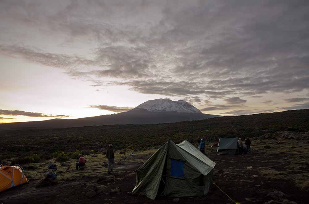
The drive from Moshi to the Machame Gate takes about 50 minutes. The journey passes through the village of Machame which is located on the lower slopes of the mountain. As we leave the park gate, we walk through the dense rain forest on a winding trail up a ridge until we reach the Machame Camp.
Day 2: Machame Camp – Shira 2 Camp
- Elevation: 9,350 ft to 12,500 ft
- Distance: 5 km/3 miles
- Hiking Time: 4-6 hours
- Habitat: Heath
We leave the glades of the rain forest and continue on an ascending path up to a steep, rocky ridge. On the Shira Plateau, we pass through heather and open moorlands, then cross a large river gorge to Shira 2 Camp.
Day 3: Shira 2 Camp – Lava Tower
- Elevation: 12,500 ft to 15,190 ft
- Distance: 7 km/4 miles
- Hiking Time: 4-5 hours
- Habitat: Alpine Desert
Lava Tower to Barranco Camp
- Elevation: 15,190 ft to 13,044 ft
- Distance: 3 km/2 miles
- Hiking Time: 2-3 hours
- Habitat: Alpine Desert
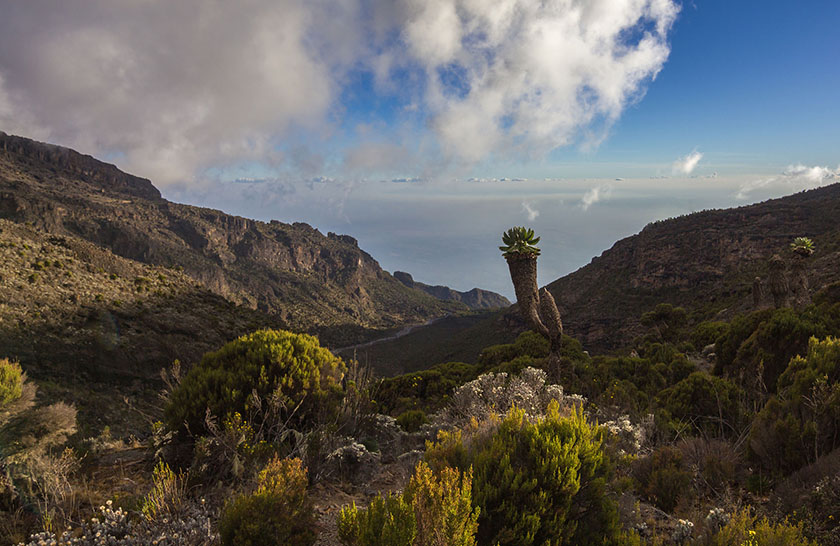
We continue to the east up a ridge and then head southeast towards the Lava Tower – a 300 ft tall volcanic rock formation. We descend down to Barranco Camp through the strange but beautiful Senecio Forest to an altitude of 13,000 ft. Although you begin and end the day at the same elevation, the time spent at higher altitude is very beneficial for acclimatization.
Day 4: Barranco Camp – Karanga Camp
- Elevation: 13,044 ft to 13,106 ft
- Distance: 5 km/3 miles
- Hiking Time: 4-5 hours
- Habitat: Alpine Desert
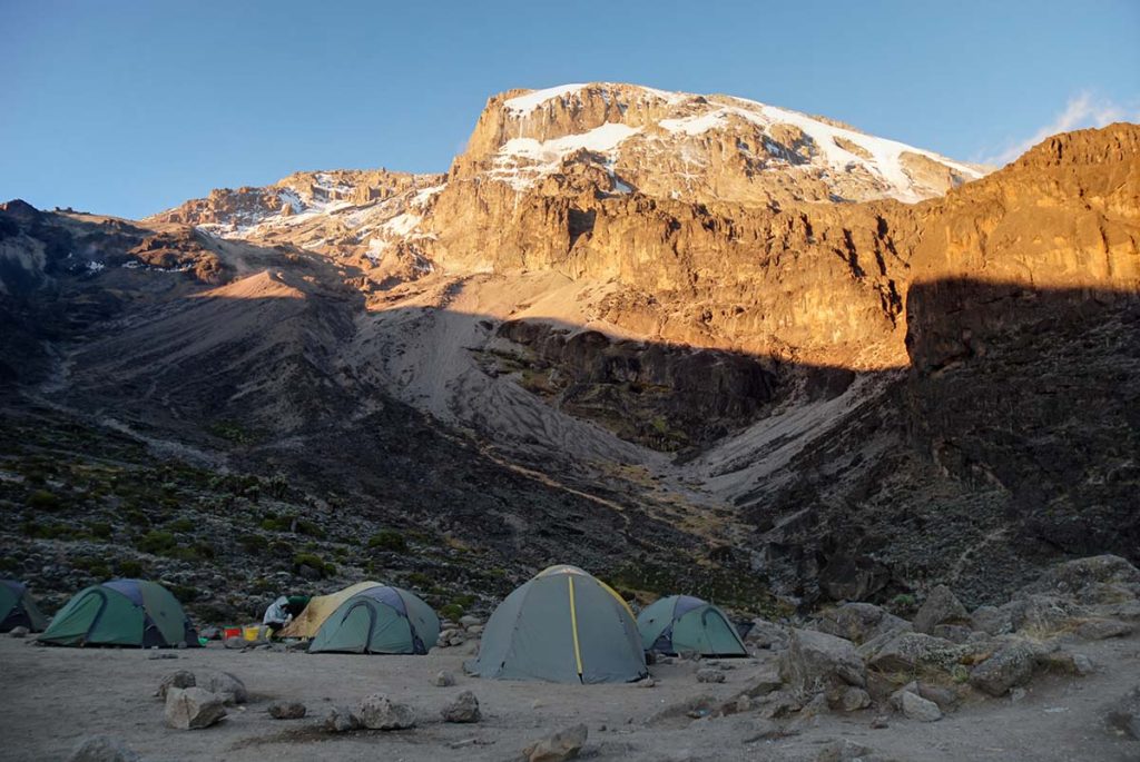
We begin the day by descending into a ravine to the base of the Great Barranco Wall. Then we climb the non-technical but steep, nearly 900 ft cliff. From the top of the Barranco Wall we cross a series of hills and valleys until we descend sharply into Karanga Valley. One more steep climb up leads us to Karanga Camp. This is a shorter day meant for acclimatization.
Day 5: Karanga Camp – Barafu Camp
- Elevation: 13,106 ft to 15,331 ft
- Distance: 4 km/2 miles
- Hiking Time: 4-5 hours
- Habitat: Alpine Desert
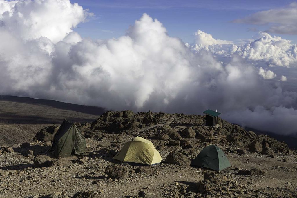
We leave Karanga and hit the junction which connects with the Mweka Trail. We continue up to the rocky section to Barafu Hut. At this point, you have completed the Southern Circuit, which offers views of the summit from many different angles. Here we make camp, rest and enjoy an early dinner to prepare for the summit day. The two peaks of Mawenzi and Kibo are viewable from this position.
Day 6: Barafu Camp – Uhuru Peak
- Elevation: 15,331 ft to 19,341 ft
- Distance: 5 km/3 miles
- Hiking Time: 7-8 hours
- Habitat: Arctic
Uhuru Peak to Mweka Camp
- Elevation: 19,341 ft to 10,065 ft
- Distance: 12 km/7 miles
- Hiking Time: 4-6 hours
- Habitat: Rain Forest
Very early in the morning (around midnight), we begin our push to the summit. This is the most mentally and physically challenging portion of the trek. The wind and cold at this elevation and time of day can be extreme. We ascend in the darkness for several hours while taking frequent, but short, breaks. Near Stella Point (18,900 ft), you will be rewarded with the most magnificent sunrise you are ever likely to see coming over Mawenzi Peak.
Finally, we arrive at Uhuru Peak– the highest point on Mount Kilimanjaro and the continent of Africa. From the summit, we now make our descent continuing straight down to the Mweka Hut camp site, stopping at Barafu for lunch. The trail is very rocky and can be quite hard on the knees; trekking poles are helpful. Mweka Camp is situated in the upper forest and mist or rain can be expected in the late afternoon. Later in the evening, we enjoy our last dinner on the mountain and a well-earned sleep.
Day 7: Mweka Camp – Mweka Gate
- Elevation: 10,065 ft to 5,380 ft
- Distance: 10 km/6 miles
- Hiking Time: 3-4 hours
- Habitat: Rain Forest
On our last day, we continue the descent to Mweka Gate and collect the summit certificates. At lower elevations, it can be wet and muddy. From the gate, we continue another hour to Mweka Village. A vehicle will meet us at Mweka Village to drive us back to the hotel in Moshi.
INCLUDED IN THE PRICE:
- Sleeping bag
- Flights
- Alcoholic and soft drinks
- Visa fees
- Tips
- Personal spending money for souvenirs etc.
- Travel insurance
EXCLUDED FROM THE PRICE:
- Flights
- Optional activities
- Alcoholic and soft drinks
- Visa fees
- Tips
- Personal spending money for souvenirs etc.
- Travel insurance